Topography

We offer efficient solutions in all areas of surveying. The use of advanced measuring, data processing and CAD (Computer Aided Design) equipment guarantees maximum accuracy to meet customer requirements.
Our office also has its own permanent GPS CORS (cross-origin resource sharing) in the Dakar area, which allows us to be reactive and competitive in traditional surveying activities.
In addition to these classic services, the department also offers 3D laser scanning solutions. Advanced technology combined with total station theodolite and drone surveys; the scanner offers many possibilities. It has become indispensable for 3D data acquisition.
Our office is also skilled in the use and management of 3D guidance systems for construction machinery.
Our services
- Topographic surveys, building surveys, GPS positioning
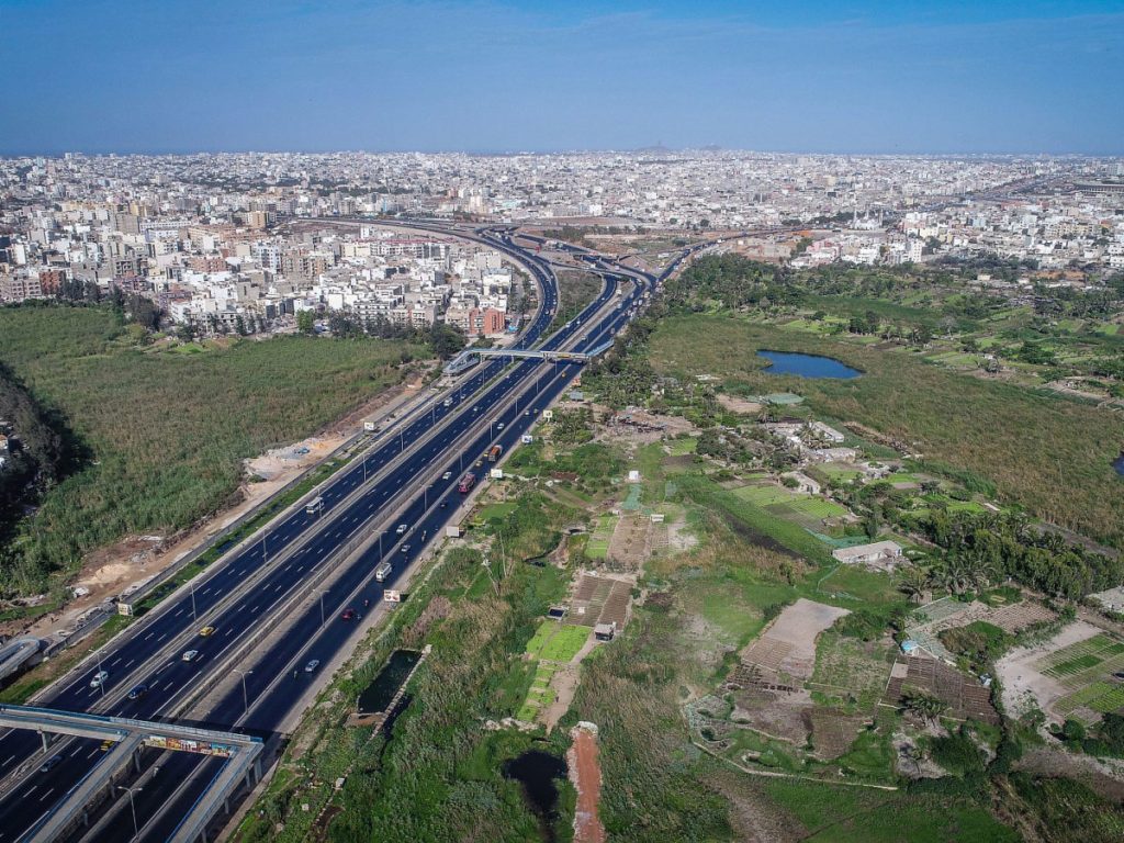
- Mapping
- Photogrammetry
- Automated digital elevation model (DEM) production
- 3D terrain modelling, cubic volume calculation
- Polygonal meshes of large linear projects
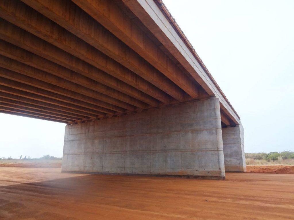
- Layout of axes and structures
- Site monitoring (layouts, receipts, cut and fill calculations, completion plans, etc.)
- Deformation measurements of structures
- Bathymetry in rivers